Hiking tours
Around the Pirker’s NaturE & Bio Family hotel
Our favorite tours in nature
We know the area like the back of our hand – and have done so for several generations. Over hill and dale, uphill, downhill, along the river. We’ve walked every path once. As you don’t have that much time in our beautiful Malta Valley, we have summarized the most beautiful hiking routes around Carinthia for you. Our personal recommendation with information on requirements, altitude difference and necessary equipment. Whether you prefer a leisurely hike or a mountain tour up to the summit cross, take your pick and enjoy nature!
You can find more tours including descriptions here: Tour guide
Summit tour “Stubeck”
Experience region Stubeck – 2.370m
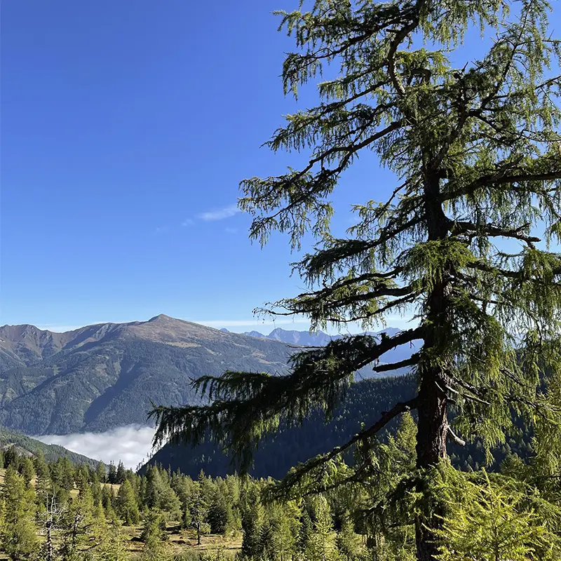
The tour leads up through various interesting altitude levels into three vegetation stages. The subalpine stage begins at the edge of the closed spruce forest. This is characterized by stone pines, larch forest and dwarf shrub belts. The forest and tree line form a particularly striking boundary. This is where the alpine stage begins with its closed grassland and its various cushion stages. Above around 2.300m, trees can no longer grow. The growth form reaches its limit here within a few meters of altitude. The view over the Nock Mountains (biosphere park), the Julian Alps (Triglav) and the Hochalmspitze (national park area) offers a magnificent panorama.
- Requirement: Easy hike for adults and children aged 5 and over
- Start & Meeting point: 9.00 am, parking lot in Malta under the municipal office
- Duration: 5 hours (3 hours pure walking time)
- Route: 7 km
- Height difference: 770 vertical meters
- Equipment: Hiking boots, weatherproof clothing, rucksack with snack and drink, headgear, sun protection and possibly hiking poles
- When: Depending on registrations, one tour per week is organized, information at the Malta Tourist Office
Hiking tour “WEINSCHNABEL”
A challenging mountain tour – 2.754m
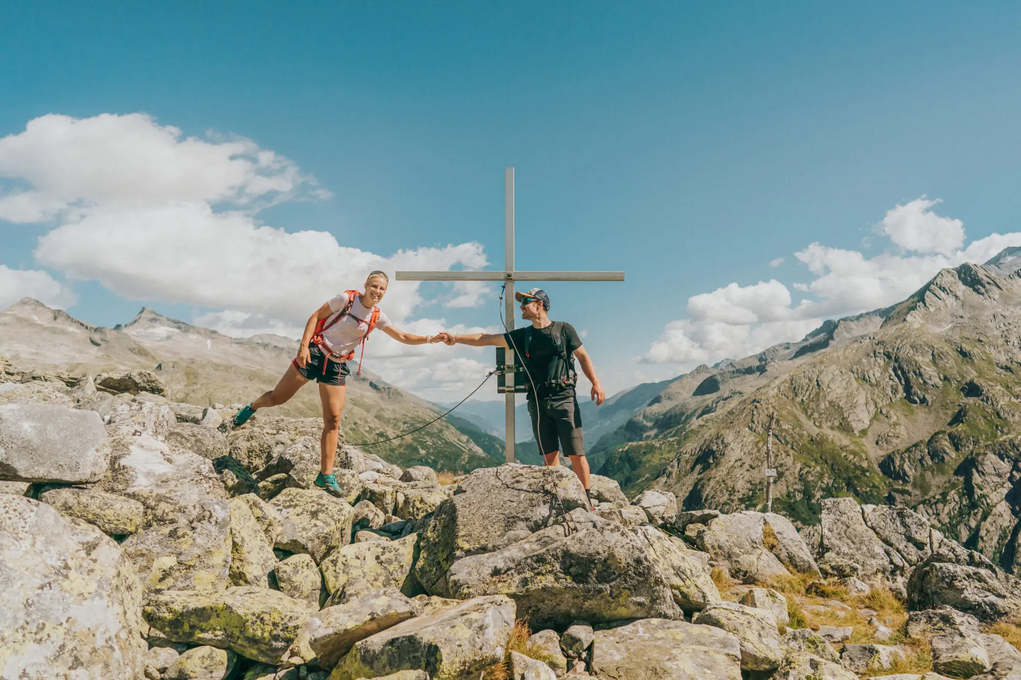
On the way in the Hohe Tauern National Park area, the high alpine tour goes up a path climbed by sheep. The abraded metamorphic rock reflects the force of the glacier that once existed. The path leads us over boulders and partly over snowfields up to the summit cross. Beautiful and unforgettable views are the reward for this mountain tour from Carinthia to Salzburg and the Styrian peaks.
- Requirement: Medium to difficult tour for all those who are sure-footed and in good physical condition
- Meeting point & start: 8.00 a.m., parking lot at the Fallerhütte Attention toll (free with “Kärnten Card”)
- Duration: 4-5 hours (varies depending on running speed)
- Route: around 10 km
- Height difference: 804 Altitude meters
- Equipment: Good, sturdy hiking boots with non-slip tread soles, weatherproof clothing, rucksack with plenty to drink and snacks, headgear and sun protection
- When: Depending on registrations, one tour per week is organized, information at the Malta Tourist Office
“The journey is the destination..” – Konfuzius
Elendrundgang Maltatal
Experience the Malta Valley – 2.676m
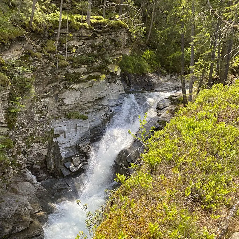
The Elendrundgang is truly a breathtaking and promising mountain tour, because the two Elendtäler valleys are a very special high alpine pasture of the first class. Characterized by glacier forelands, shaped valleys, alluvial and mudflow cones, alpine grass and shrub heaths, countless moors and high lakes, as well as alpine and mountain meadows and stone walls shaped by man. The national park has various conservation areas. They are divided into core zone, outer zone and special protection zone. The Hohe Tauern National Park is the largest national park in the entire Alpine region and Central Europe, covering 1,856 square kilometers of untouched primeval Alpine landscape as well as extensively used, traditional and rich cultural landscape. Our tour leads into the valley along the reservoir to the mouth of the Kleinelend valley. Turn right here before the Kleinelend bridge. At Mitterboden, you walk past countless moors created by the silting up of a lake. Cross a wooden bridge and enjoy the view of the Kleinelendkees. The ascent continues on lateral moraines. Passing boulder scree and stony slopes, the route leads up to the Zwischenelendscharte. Once you reach the highest point of the hike at 2676m, you can see the wild and romantic Oberer Schwarzhornsee and on the opposite side of the mountain you can see our Hochalmspitze. You then prepare for the descent towards the Osnabrücker Hütte. The most difficult part of the hike begins at Fallboden. From here you can already catch a glimpse of our refreshment stop. Well fortified, our hike leads us back to the starting point via an alpine path along the reservoir.
- Requirement: Moderately difficult, long hike for adults and children aged 12 and over (hiking experience, plenty of stamina and surefootedness required)
- Start & meeting point: 7.00 a.m., parking lot at the Fallerhütte Attention toll (free with “Kärnten Card”)
- Duration: 8- 10 hours (7 hours pure walking time)
- Route: 21,60 km
- Height difference: 742 Altitude meters
- Equipment: Good, sturdy hiking boots with non-slip tread soles, weatherproof clothing, rucksack with plenty to drink and snacks, headgear and sun protection
- When: Depending on registrations, one tour per week is organized, information at the Malta Tourist Office

Faschaunereck
Mountain tour on 2.614m
The route first leads up a forest road through an ancient larch forest, past alpine meadows, mountain pastures and small huts. Now the path begins to ascend slightly. At the Halterhütte, which is located on the left-hand side of the alpine pasture, you branch off to the left up over the Fauschaunerleitn. The marked trail becomes relatively steep in the upper section and leads up to an altitude of 2480m, where the ridge is located. From here, the hike leads along a narrow path along the ridge up to the finish. The tour is rewarded with a magnificent panoramic view. With a bit of luck, you may catch a glimpse of various high alpine animals (including eagles, chamois, ptarmigans and many more).
- Requirement:Medium to difficult tour for anyone who is sure-footed and in good physical condition
- Start & meeting point: 8:00 am, parking lot in Malta under the municipal office
- Duration: 5 hours (varies depending on running speed)
- Route: 11 km
- Height difference: 1014 Altitude meters
- Equipment: Good, sturdy hiking boots with non-slip tread soles, weatherproof clothing, rucksack with plenty to drink and snacks, headgear and sun protection
- When: Depending on registrations, one tour per week is organized, information at the Malta Tourist Office
